Space42 and South Africa Partner to Launch Thuraya-4 Mobile Satellite Network
AI Quick Summary
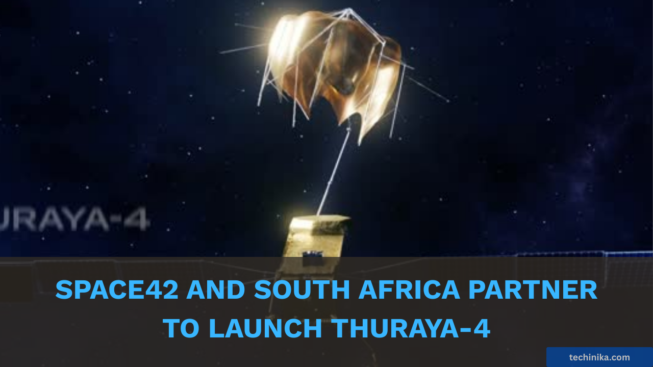
- Space42, a UAE-based AI SpaceTech company, launched its Thuraya-4 next-generation satellite services in South Africa on February 9, 2026, marking a "sky-first" strategy to expand connectivity.
- This new satellite infrastructure is designed to provide secure, high-uptime connectivity for South Africa’s critical industrial sectors (mining, energy, maritime) and government operations, integrating with the National Development Plan 2030.
- Thuraya-4 uses advanced technology, including dynamic power allocation, direct-to-device integration with portable hubs, and all-weather reliable L-band frequency, behaving like a dynamic terrestrial network.
- The system features military-grade encryption and "jam-proof" L-band architecture to ensure South Africa's data and technology sovereignty.
- Space42 is collaborating with Microsoft and Esri to leverage satellite data for AI-powered, high-resolution base maps across Africa, creating a "Digital Twin" of South Africa for precise planning and resource management, hosted on Microsoft Azure.
There are no publicly available updates regarding Space42's Thuraya-4 services in South Africa or a "Map Africa Initiative" after the article's specified date.
In a major expansion of Africa's digital infrastructure announced on February 9, 2026, UAE-based AI-powered SpaceTech leader Space42 officially activated its Thuraya-4 next-generation satellite services. Under the patronage of President Cyril Ramaphosa, the launch marked a definitive shift toward a "sky-first" strategy to eliminate connectivity "shadow zones" across the Republic.
While South Africa’s urban centers have long relied on fiber and 5G, this landmark update from Space42 introduces a permanent, secure satellite infrastructure designed to support the nation’s most critical industrial and government sectors.
The Digital Backbone
A central component of the announcement is the integration of Thuraya-4 into South Africa’s National Development Plan 2030. This rollout ensures that geographic isolation is no longer a barrier to economic participation or public safety.
- Industry Continuity: Thuraya-4 specifically strengthens the connectivity backbone for mining, energy, and maritime operations, where terrestrial networks are often limited or entirely unavailable.
- Mission-Critical Coverage: The system provides high-uptime, secure communications for civil government and humanitarian operations, ensuring that emergency responders remain connected during disasters or network disruptions.
- Sovereignty & Security: Unlike conventional systems, the Thuraya-4 ecosystem features military-grade encryption and "jam-proof" L-band architecture, entrenching South Africa's data and technology sovereignty.
The Technology
For the first time, South Africa is deploying a satellite system that behaves like a dynamic terrestrial network. The agreement triggers the immediate availability of 16 new satellite-enabled products across the country.
- Dynamic Power Allocation: Built on the Airbus Eurostar Neo platform, Thuraya-4 uses a 12-meter antenna that can "steer" its power to specific hotspots, such as high-risk mining zones or search-and-rescue sites.
- Direct-to-Device Integration: The rollout includes the IP NEO and VOYAGER NEO series-portable and vehicular hubs that turn any remote camp or vehicle into a secure, shared Wi-Fi workspace off-grid.
- All-Weather Reliability: The L-band frequency ensures that voice and data services remain uninterrupted even during adverse weather conditions, which often cripple traditional satellite or microwave links.
A New Model for African Connectivity and Intelligence
The activation of Thuraya-4 represents a breakthrough in regional digital inclusion by merging raw connectivity with the Map Africa Initiative.
In collaboration with Microsoft and Esri, Space42 is leveraging its satellite data to develop AI-powered, high-resolution base maps covering 30 million square kilometers across the continent. This initiative transforms fragmented geospatial data into a "Digital Twin" of the Republic, allowing South African institutions to conduct precise infrastructure planning, resource management, and climate-resilient development.
By hosting this data on Microsoft Azure cloud infrastructure, the project moves beyond a temporary pilot into a long-term commercial rollout that complements South Africa's existing space legacy, which dates back to the launch of SunSat-1 in 1999.
By building a resilient, multi-layered network where the sky serves as a permanent backup for the ground, South Africa is securing its digital economy against terrestrial disruptions and establishing itself as a strategic hub for the continent's growing technology sector.
If you enjoyed this article, follow us on WhatsApp for daily tech updates. If you have an idea, need to be featured or need to partner, reach out to us at editorial@techinika.com or use our contact page.
Don't let the story end here.
Join 12+ others discussing this topic. Share your thoughts, ask questions, and connect with the community.