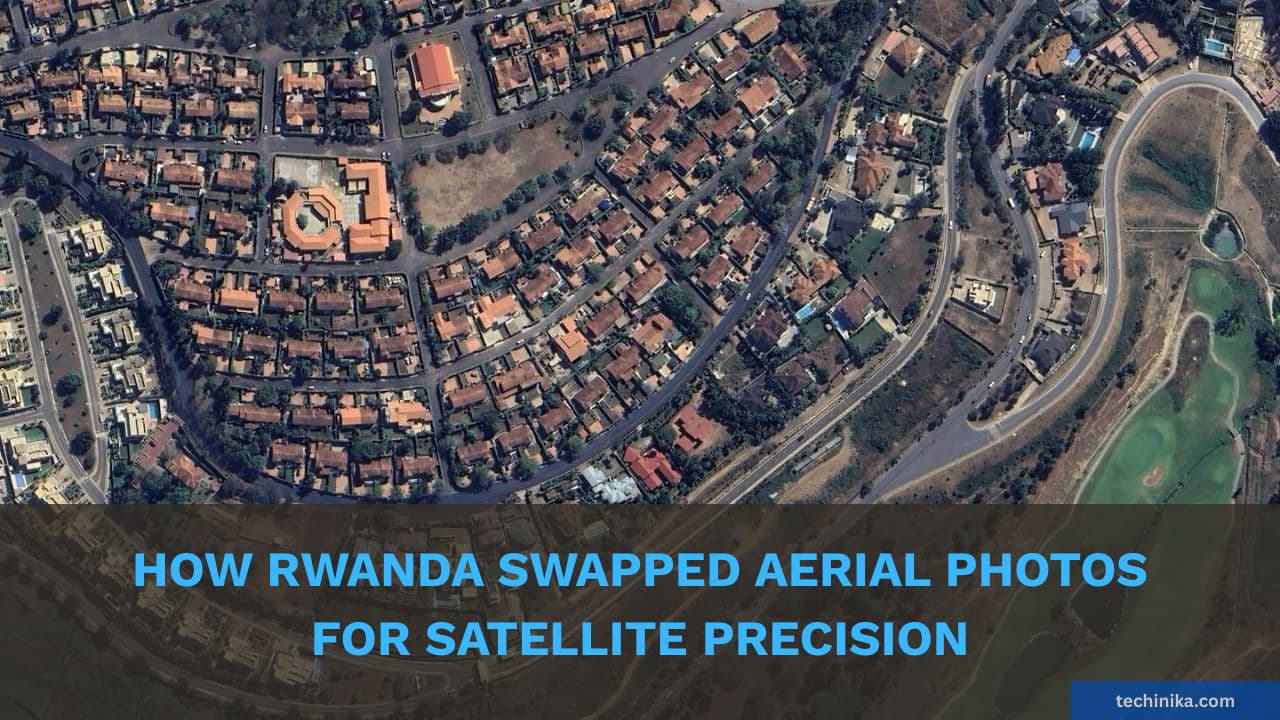
How Rwanda Swapped Aerial Photos for Satellite Precision
AI Quick Summary
- Rwanda has upgraded its national land registry to a high-precision satellite system, correcting over 222,423 boundary errors with a budget of Rwf 2.2 billion.
- The new system uses 10 Global Navigation Satellite System (GNSS) reference stations (CORS) to achieve 1-5 centimeter accuracy, replacing older, less precise aerial orthophoto mapping.
- The government is focusing corrections on 825 priority villages, particularly in the Congo-Nile Divide and Eastern Province, and clearing a 55,000-application backlog for land subdivision.
- This data cleanup supports Rwanda's "zero paper" e-Title system, which allows instant issuance of digital land titles via SMS/email once boundaries are verified.
- The e-Title system aims to unlock "dead capital" by enabling quick verification for banks, allowing land to be used as secure collateral for loans.
Rwanda has continued to digitize and improve its land management systems, with ongoing efforts to resolve disputes and enhance efficiency in land transactions and registration.
Rwanda has transitioned its national land registry from "general" mapping to a high-precision satellite system, correcting over 222,423 boundary errors to date. In a report to Parliament on February 17, 2026, Minister of Environment Bernadette Arakwiye detailed how the government is committing Rwf 2.2 billion to fix these historical inaccuracies using a network of 10 Global Navigation Satellite System (GNSS) reference stations, achieving an accuracy level of 1 to 5 centimeters.
The Tech Core: Why "Pictures" Weren't Enough
The core of this technical transformation lies in moving beyond the limitations of early mapping. Between 2009 and 2013, Rwanda’s land registration relied on aerial orthophotos that were often distorted by the country’s hilly terrain, resulting in "general boundaries" that misaligned on digital maps. To solve this, the Ministry deployed 10 Continuously Operating Reference Stations (CORS) nationwide as digital anchors. These stations provide real-time correction data to surveyors' devices, replacing visual guesswork with satellite coordinates accurate to the centimeter. This ensures the digital registry now matches the physical fence line with absolute precision.
Targeting the Hotspots
The government has identified 825 villages nationwide as priority zones for systematic correction. The "Surge" focuses on regions where boundary errors have historically blocked economic development:
- The Congo-Nile Divide: A major re-mapping project is underway covering 10 districts in this high-altitude zone where terrain distortion caused the most errors.
- Eastern Province: Specific, large-scale interventions are currently active in Kirehe, Kayonza, and Nyagatare, where over 54,000 titles have already been re-issued after resolving disputes.
- The Backlog: A task force of 100 private surveyors and interns has been deployed to clear a 55,000-application backlog by the end of this month, primarily assisting families who need to subdivide land inherited under the 2021 reforms.
The "Zero Paper" e-Title Ecosystem
This data cleanup is the backbone of Rwanda’s e-Title system, which has now moved beyond its pilot phase to become the national standard for 2026.
- Instant Issuance: Once a boundary is verified via GNSS and approved by the Registrar, the owner instantly receives an SMS or email with a secure link to download their electronic land title. This eliminates the need for physical paper deeds, which are prone to loss or damage.
- Economic Utility: By removing the "dead capital" locked in disputed land, the e-Title allows for near-instant verification by banks. A verified digital title can be used as collateral for loans without the weeks of waiting traditionally required for physical paperwork verification and manual searches.
This systematic cleanup is a move to unlock "dead capital" and ensure that land can finally move at the speed of the digital economy. By aligning satellite data with legal ownership, the government is building a foundation of trust that allows citizens to use their land as a secure bridge to the financial system.
As Minister of Environment Bernadette Arakwiye noted during the parliamentary session:
"Our objective is to ensure that no land boundary remains a source of conflict. By using this updated technology, we are not just fixing maps; we are building a foundation of trust that allows our citizens to use their land as a secure bridge to the financial system."
If you enjoyed this article, follow us on WhatsApp for daily tech updates. If you have an idea, need to be featured or need to partner, reach out to us at editorial@techinika.com or use our contact page.
Don't let the story end here.
Share your thoughts, ask questions, and connect with the community.

Kellycie Bayingana
AuthorPassionate about the intersection of technology and storytelling. I am committed to uncovering and sharing the most compelling startup narratives from across Rwanda for Techinika.
View all articles by Kellycie Bayingana →